Winter is almost upon us and the weather is about to start acting like it as people have been warned by the Met Office to wrap up warm in anticipation of cold arctic air sweeping down across the nation.
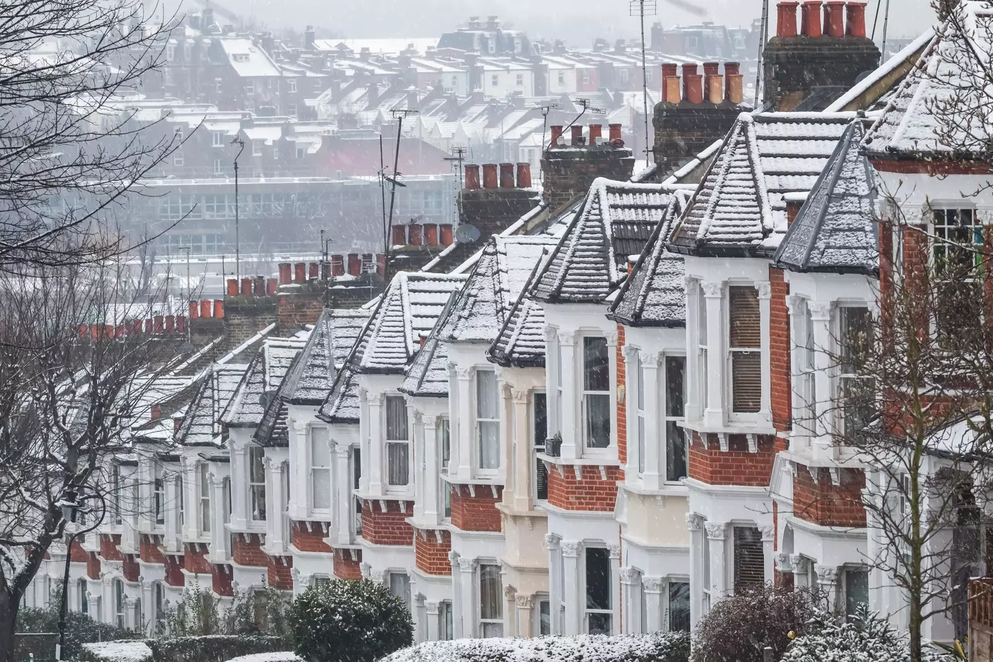
Bundle up, it’s getting colder! (Getty Stock Photo)
The time has come to definitively break out the winter wardrobe as the Met Office declared: “Woolly jumpers at the ready! Temperatures are set to drop next week with wintry weather on the way.”
Those living in the north of Scotland have been issued with a severe weather warning for snow and ice tonight (17 November), while further warnings have been issued for Monday (18 November) evening and overnight across parts of the north of England and Wales.
They say that most of the snow will ‘accumulate on higher ground’, but there is a chance that some of it could settle elsewhere.
The Met Office has warned that there could be up to 10 centimetres of snow in some places depending on certain conditions, and that this could cause some travel disruption.
If the snow is around during rush hour then that would certainly be disruptive, but according to the Met Office the ‘likelihood for that is still uncertain at this stage’.
Andy Page, the Met Office’s chief meteorologist, said: “We have issued yellow warnings for snow and ice as cold weather moves in from the north.
“This brings snow showers and some ice to parts of Scotland on Sunday night, and then the potential for a spell of snow to lead to disruption to some transport routes across a central swathe of the UK on Tuesday morning.
“Gusty winds in the east also remain a potential hazard. Updates to the warnings for wintry hazards are likely so it is important to stay up to date with the latest forecast.”
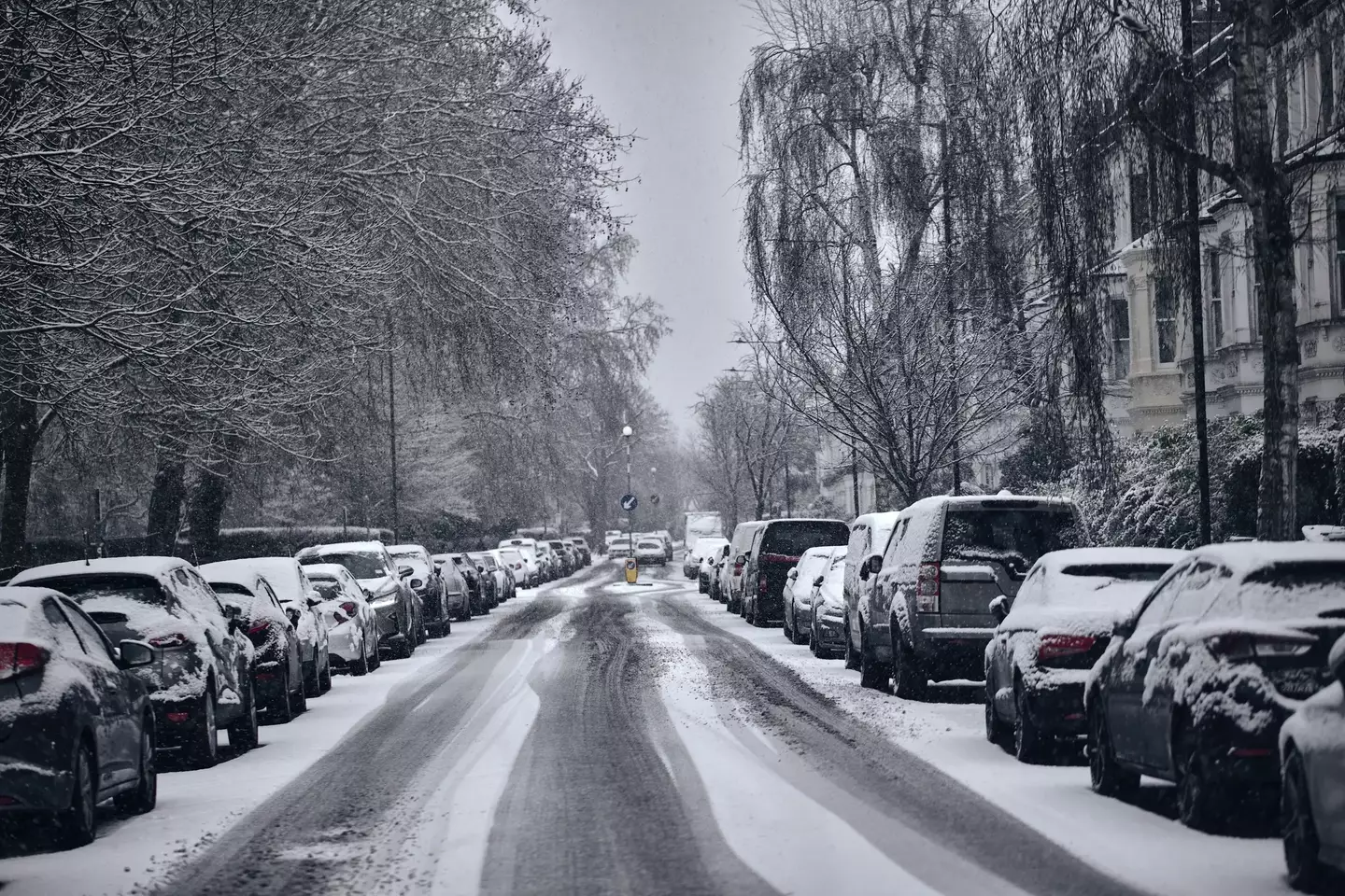
The Met Office is predicting snow in some parts of the UK, and says it’s time to wrap up warm. (Getty Stock Photo)
Along with the cold weather warnings is a health alert from the UK Health Security Agency (UKHSA), which is in effect until Thursday (21 November).
The alert makes it clear of a ‘greater risk to life of vulnerable people’ and there will be an ‘increased use of healthcare services by vulnerable people’.
At present, the warnings are predicting ‘minor impacts on health and social care services’, so as long as you wrap up warm and take precautions it shouldn’t be too much of a bother.
It really is going to be time to break out the woolly jumpers and make the most of your winter wardrobe, and this is just what’s going on in November before winter has truly arrived.
Featured Image Credit: Getty Stock Images
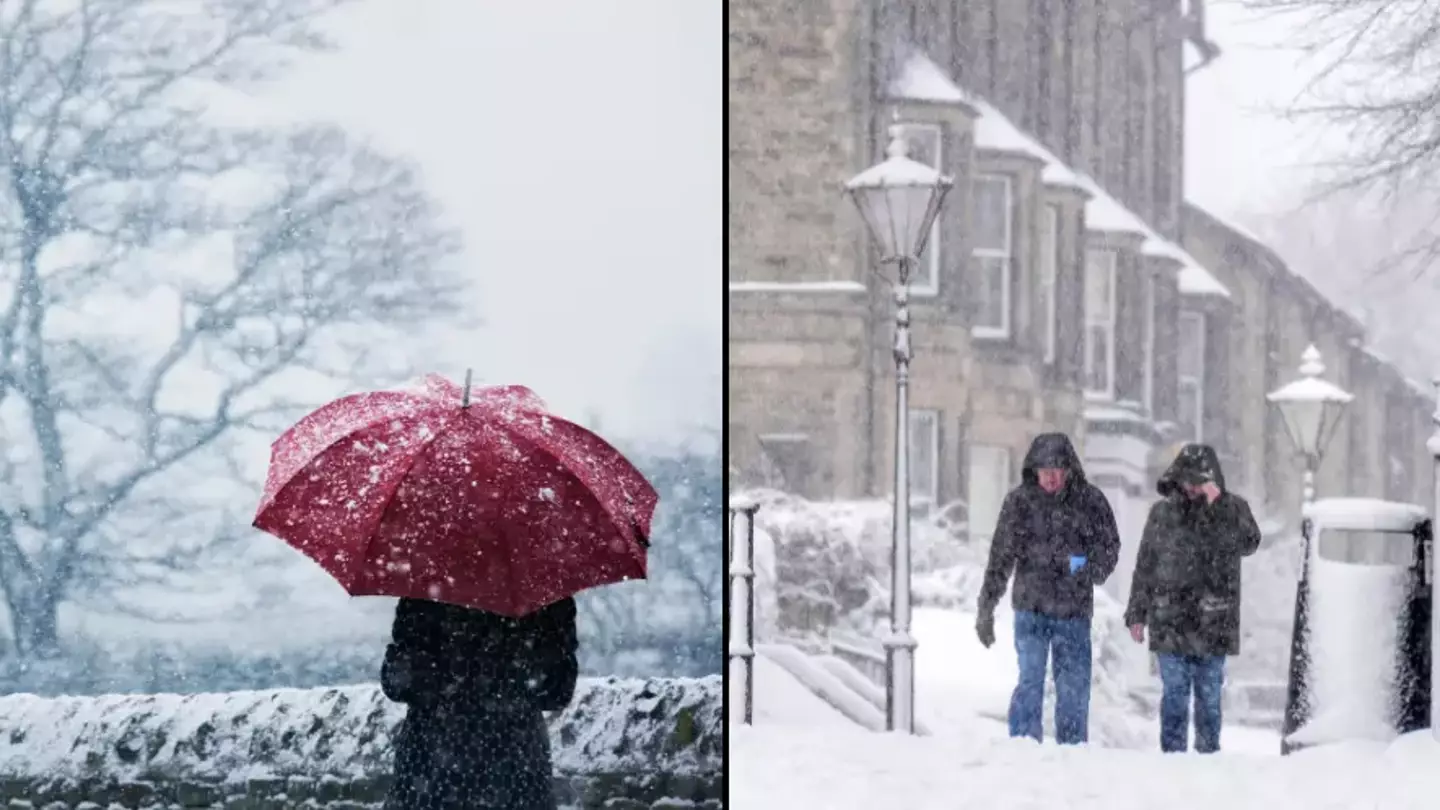
Get ready to dig out your hats, gloves and scarves now that the Met Office has issued a weather warning beginning tomorrow.
It’s autumn, and while it comes with lovely different colours of leaves and a crisp morning air, there’s also the chance that things will get chilly, but how chilly are we to expect?
According to the Office, we’re in for a bit of a cold one starting from tomorrow (17 November) as Arctic winds are set to sweep across the UK.
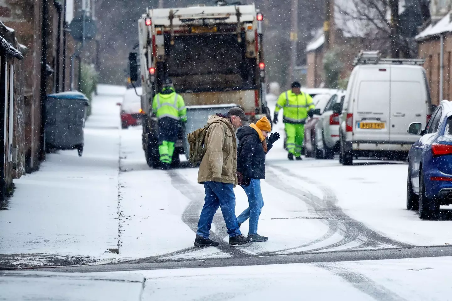
The Met Office issued two warnings (Getty Images / Jeff J Mitchell / Staff)
You can expect sub-zero temperatures, as well as rain to come in parts of Southern Scotland and Northern England, as temperatures in some areas will be well below the average for this time of year.
In London, you can expect highs of 6C and night-time lows of -1C.
Snow and ice warnings have also been issued, with it coming into Scotland from tomorrow at 4pm until Monday 11am.
It’ll then travel to England from Monday at 10am until the same time on Tuesday.
Unfortunately, while the rest of the UK is set to experience maybe just a smattering of snow, heavy snow is due to take over the two areas given the weather warnings.
Meteorologists said there will be ‘a messy mixture of rain, sleet and snow’ in the next few days for parts of the UK, and everywhere will be a lot colder than they’d like it to be.
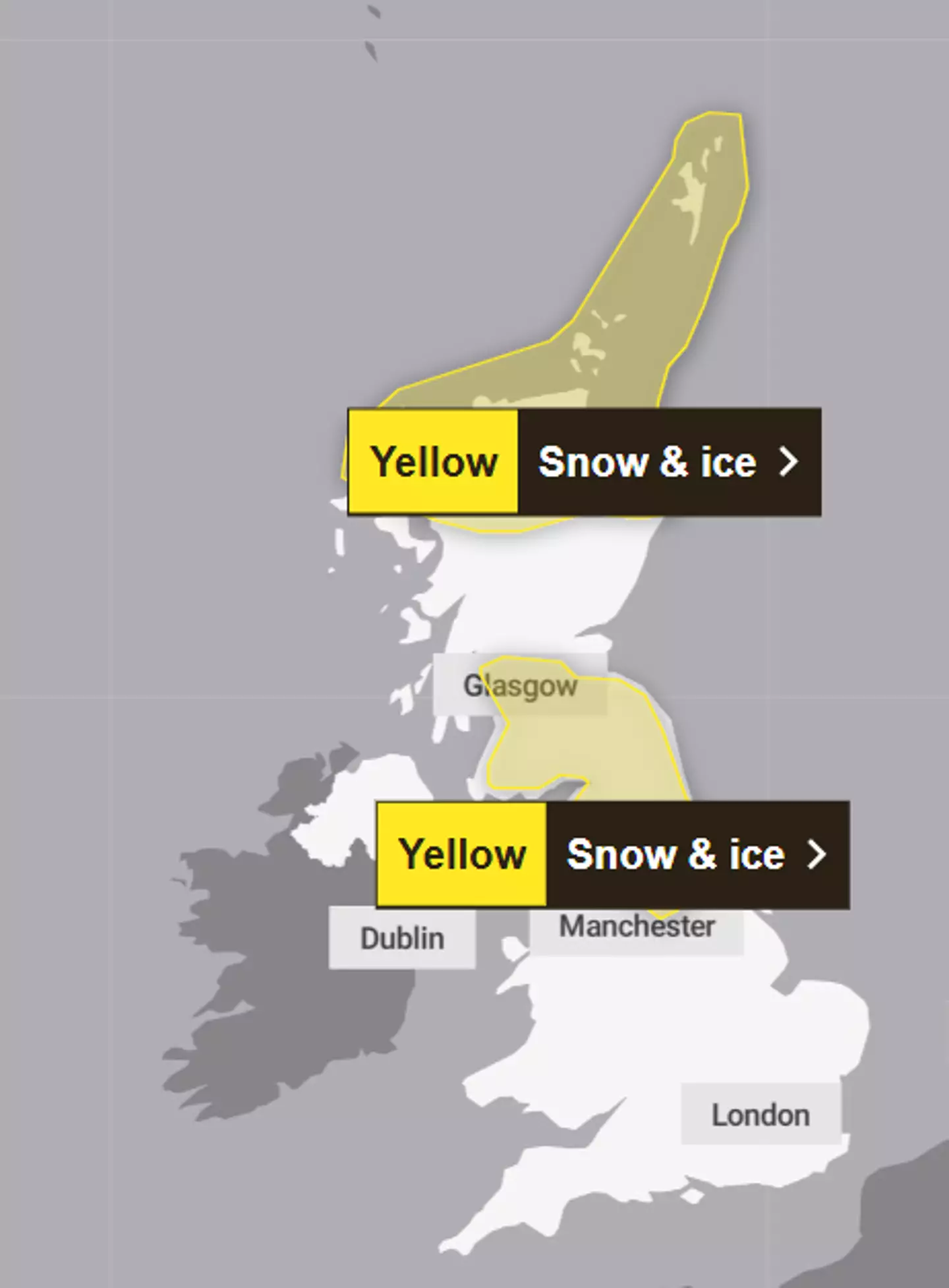
The warnings cover parts of Scotland and England (Met Office)
Apparently, there will be a ‘major change in the weather from this weekend, as an early winter cold spell arrives bringing the potential for disruption for some next week’.
However, with cold comes danger, as the UK Health Security Agency issued a cold health alert starting from Sunday until next Thursday for the Midlands (sad week for me) and the North of England.
It warned of an ‘increased use of healthcare services by vulnerable people’ and a ‘greater risk to life’ for those who are vulnerable.
While a lot of inland places will see dry weather and a bit of frost in the morning, Northern Ireland can look forward to frequent showers (as usual) as well as the coastal areas of England and Wales, which will also see rain, sleet and hail.
According to a map showing forecast snow in southern Scotland and northern England, there is a possible fall of 15-20cm on hills above 400m, and then 2-10cm in low areas.
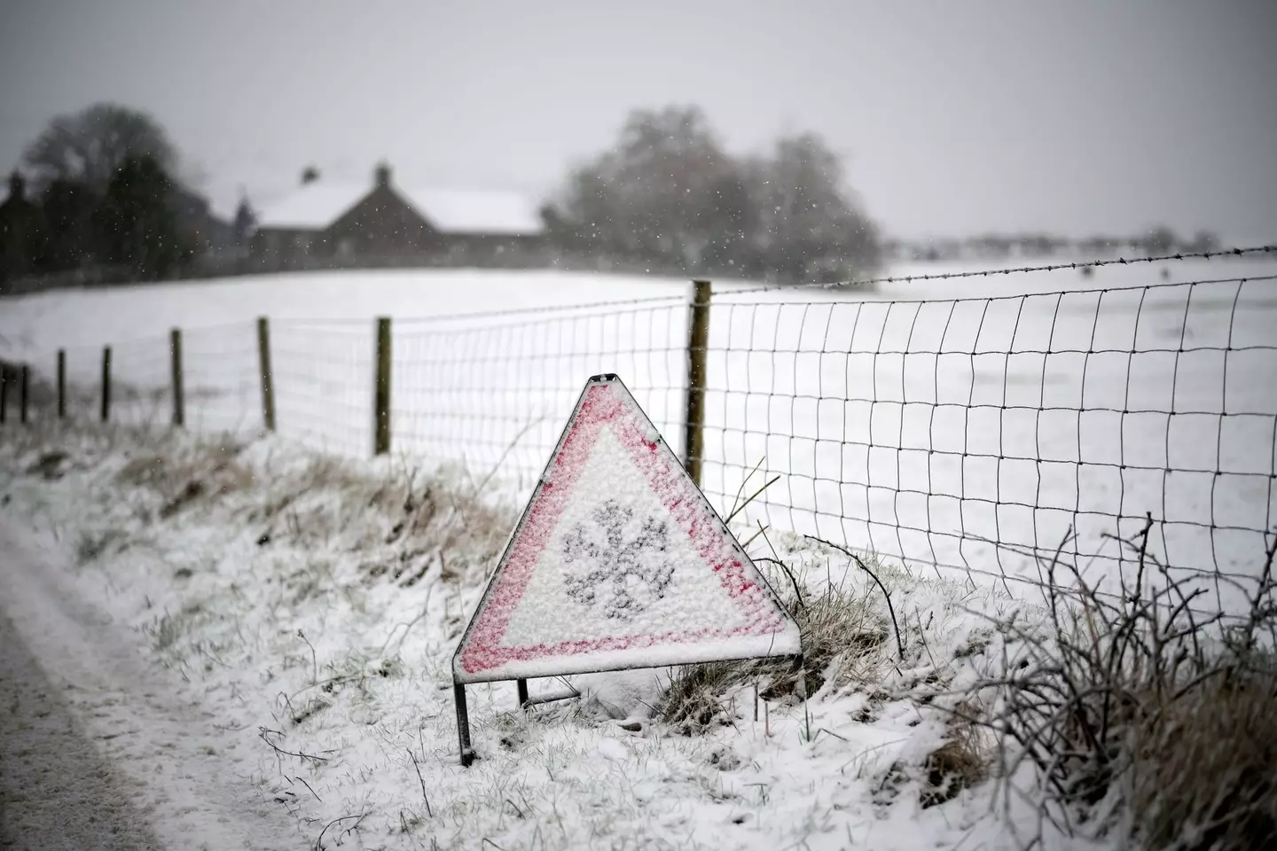
Get your hats and gloves out (Christopher Furlong / Staff / Getty Images)
The first weather warning for Northern Scotland, which also covers the Highlands area, explained that ice and some snow could lead to ‘slippery surfaces and difficult travel conditions’.
There is also possible ‘icy patches on some untreated roads, pavements and cycle paths’.
Travel could be affected by the weather, such as roads and railways, meaning that you can expect longer journey times by road, train or bus services as well as ‘injuries from slips and falls on icy surfaces’.
Forecasters went on to say that on Sunday afternoon, those living within the warning area will see showers that will turn increasingly chilly through the day, so get your wellies and umbrellas out.
Featured Image Credit: Christopher Furlong/Getty Images/Getty Stock Images
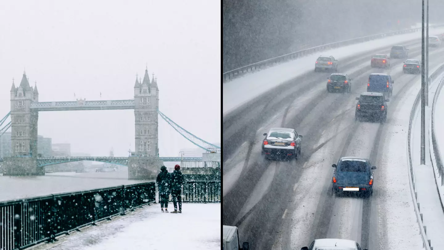
“Bloody hell, it’s cold init,” will no doubt be echoed up and down the country today, with temperatures plummeting as we head into the festive period.
And it’s only going to get colder as the Met Office has issued Brits with a snow warning, starting from tomorrow (30 November).
Last night (28 November), temperatures plunged as low as -7.2C as parts of Scotland, Northumberland and Yorkshire have already been hit with snow.
The rest of the UK are now being warned to brace themselves for more snow and ice, amid the plummeting temperatures.
Daytime temperatures are expected to drop to single-digit figures this week and night temperatures are predicted to stay below freezing for large parts of England and Scotland.
A spokesperson for the Met Office said: “Showers, wintry in places, will continue to affect northern and eastern Scotland and eastern England through Thursday evening and overnight into Friday morning.
“These are likely to fall onto frozen surfaces allowing icy patches to form.
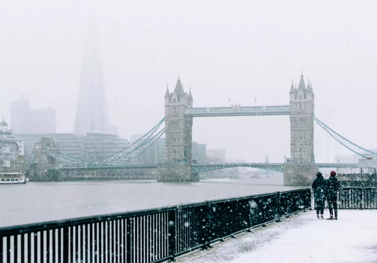
Getty Stock Photos
“From approximately the Humber northwards, showers will often fall as snow inland, with up to 2cm possible in places, and perhaps as much as 5cm over high ground.
“Further south, any snow accumulations are more likely to be restricted to higher ground.”
They added: “Spells of snow may develop over hills, especially parts of Bodmin Moor, Dartmoor, Blackdown Hills and Exmoor during the early hours of Thursday before petering out later in the day.
“The highest parts of Dartmoor and perhaps Bodmin Moor may see 5-10cm of snow with some drifting in strong easterly winds.
“Elsewhere, accumulations are likely to be relatively small, perhaps 1-3cm at most, and mainly in areas inland and above 100-200m. In addition to this, icy patches may also develop on untreated surfaces.”
Now, this is where it gets interesting as Ladbrokes’ latest betting odds for snow to fall anywhere in the UK on Christmas Day are 1/2.
They predict that Edinburgh and Newcastle are the ‘most likely destinations to see snow’.
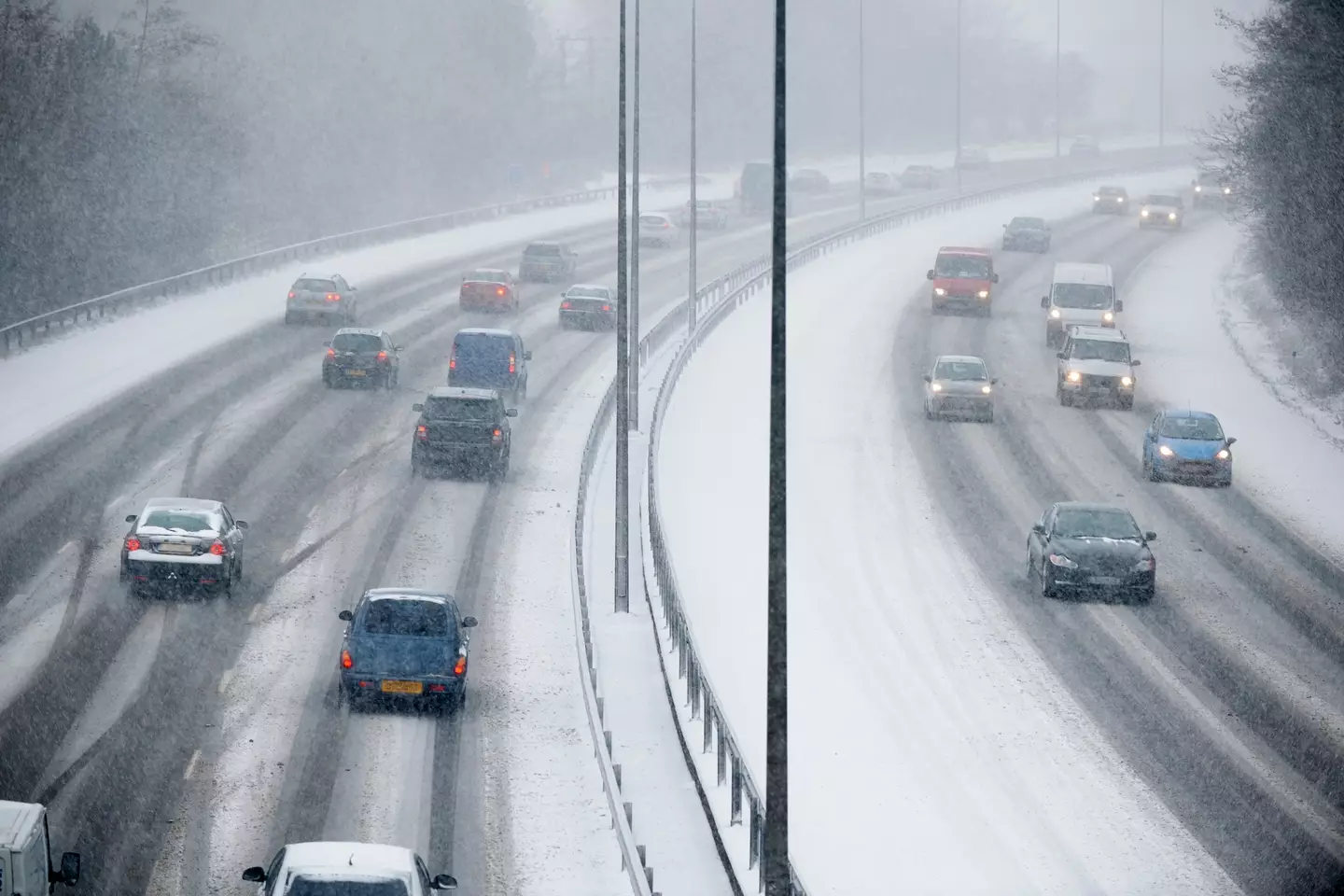
Getty Stock Photos
But before you get excited, the Met Office has urged people to take this prediction with a ‘pinch of salt’.
Met Office spokeswoman Nicola Maxey said: “Christmas is still a month away, so it is impossible with this lead time to have any confidence in a detailed forecast.
“There is often a fine line between who sees snow and who sees rain. Sometimes just a fraction of a degree Celsius change in temperature can make the difference between rain or snow falling, making forecasting snow weeks in advance extremely difficult.
“The definition of a white Christmas most widely used is for a single snowflake to be observed falling in the 24 hours of December 25.
“Therefore, snow falls ‘somewhere’ in the UK for more Christmas days than not. But widespread snow falling and lying on the ground is rather more infrequent.
“For widespread and substantial snow on the ground on Christmas Day we have to go back to 2010.”
Featured Image Credit: Getty Stock Photos
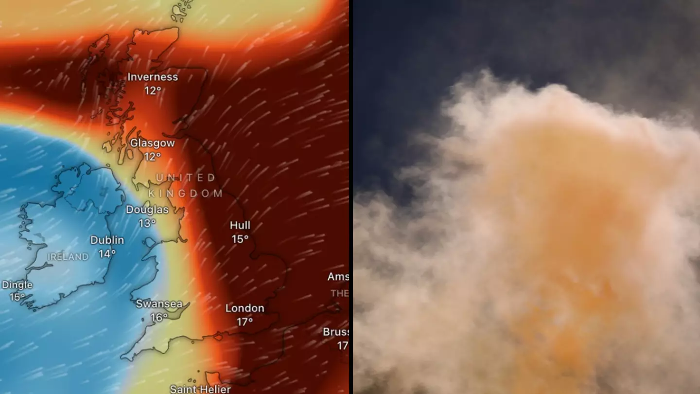
The Met Office has spoken out after there were warnings made about a cloud of ‘toxic gas’ which could impact air quality in the UK.
It’s been caused by a volcanic eruption from Iceland, marking the sixth time the same volcano has erupted since December last year.
The eruption began on Thursday (22 August) after a series of strong earthquakes. With repeated eruptions many in the surrounding area have relocated for their safety, and strong winds have blown the toxic gas around.
Where it may pose a danger, however, is that the gas contains sulphur dioxide, an air pollutant with a strong stench which can be harmful to people.
It can irritate your eyes and harm your lungs, so a cloud of it heading for the UK isn’t exactly cause for celebration.
However, the Met Office have issued a statement reassuring people that while the sulphur dioxide is coming over the UK, it shouldn’t have much of an impact on us.
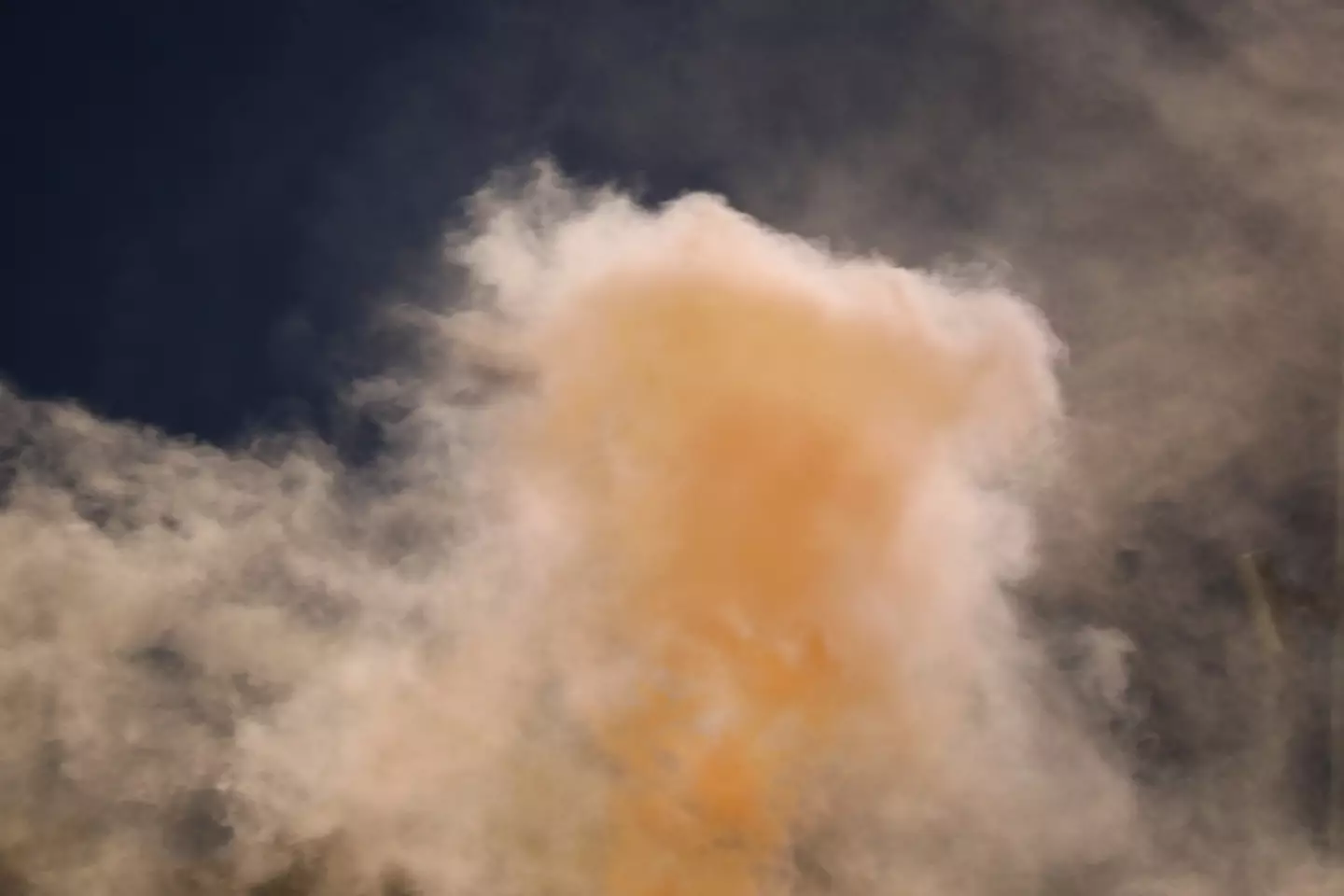
What’s all this about a toxic cloud? (Getty Stock Photo)
A Met Office spokesperson told LADbible: “A sulphur dioxide plume which originated from the volcano in Iceland has been crossing the UK high up in the atmosphere and will clear to the southeast in the coming hours.
“Impacts have been low from this sulphur dioxide, as it is high in the atmosphere and is having little influence on ground-level air quality.
“Small concentrations at surface level mean that the air pollution levels remain low.
“Air pollution is currently Low, and expected to remain that way for the whole of the UK today.
“We’re continuing to monitor any sulphur dioxide release originating from Iceland, with current forecasts suggesting little influence on UK surface air pollution in the coming days.”
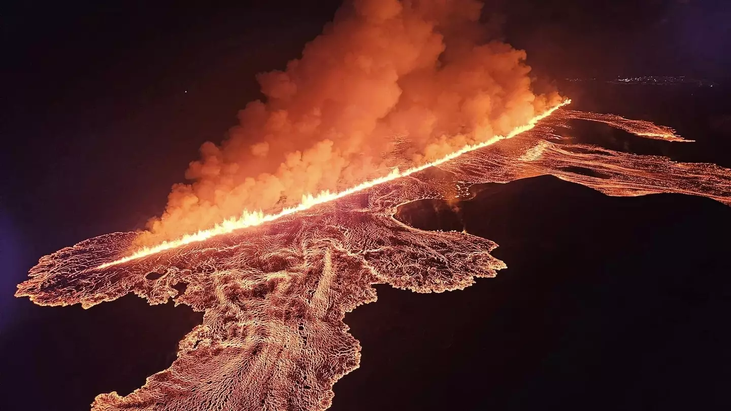
It’s been caused by a volcano in Iceland erupting for the sixth time since December. (Almannavarnadeild/Anadolu via Getty Images)
With the toxic gas high above us and soon to clear, the Met Office expects that the actual impact this would have on the air Brits breath is likely to remain low.
The cloud having ‘little influence on ground-level air quality’ is a good thing, and they have forecast that it’s not going to do much over the coming days either.
According to the UK government, sulphur dioxide is toxic whether it’s inhaled or exposed to the skin and eyes.
At low levels, it might irritate your nose and throat, higher exposure could make you sick and cause ‘corrosive damage to the airways and lungs’, though as the Met Office said it’s having ‘little influence’ on the air we breathe.
People with asthma might be more sensitive to the impact of sulphur dioxide, however.
Featured Image Credit: Windy.com/Getty Stock Photo
Topics: UK News, Weather, World News
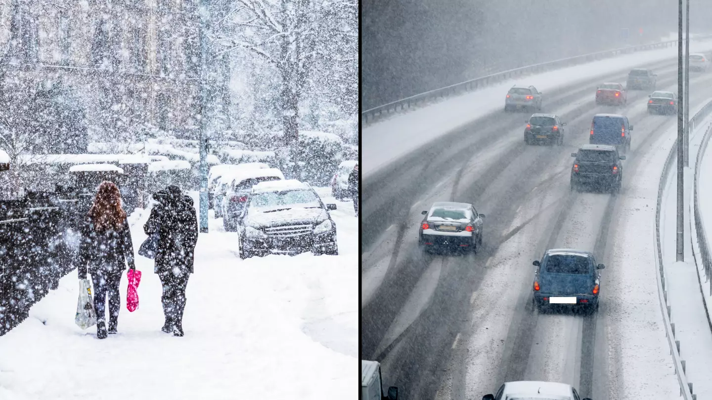
Instead of the white Christmas we all wished for, we’ve ended up with a very inconvenient white January as a polar vortex ‘snow bomb’ batters the UK this morning.
On this lovely Tuesday morning (16 January), it seems we’ve been hit with a ‘cold plunge of Arctic air’ across the whole country, making it 5°C-6°C lower than usual, the Met Office has claimed.
As a result, the national weather service has since issued yellow warnings for snow and ice – which could last until Thursday (18 January).
The most affected areas are across Scotland, Northern Ireland, along with parts of northern England and Wales.
Met Office forecaster Craig Snell said by Tuesday there could be a ‘persistent band of snow’ over three to six hours across Scotland, Northern Ireland and parts of northern England and Wales.
“In the early hours of the morning we’re looking at temperatures getting down to -12C in a few spots, Tuesday night possibly down to -15C,” he said.

Getty Stock Images
“So certainly a very cold spell into Wednesday.”
And Met Office chief meteorologist, Andy Page, has since warned: “There will be widespread frost this week and we could see some fairly deep laying snow in parts of northern UK and strong winds could result in drifting or blizzard conditions at times.
“The snow and ice will be disruptive and could potentially impact travel plans, make driving dangerous and pavements slippery.”
The extreme cold weather is being caused by a change in wind patterns in the atmosphere – which forms a ‘snow bomb’ across the country due to a polar vortex.
A polar vortex is a circulation of winds, around 30 miles above the earth.
These winds can often exceed 155 miles per hour, meaning they’re as strong as the strongest hurricanes (Category 5).
However, in winter, the strength of these winds can weaken causing an influence on the weather that we experience.
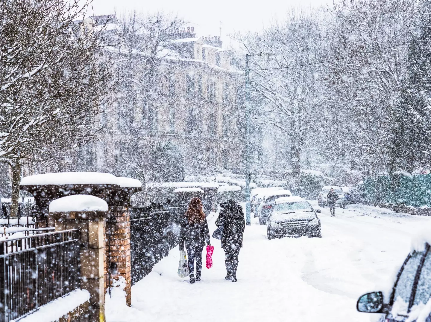
Getty Stock Images
Meteorologists believe that the intense cold spell could see snow cover parts of the country for the first half of January.
Professor Liz Bentley, chief executive of the Royal Meteorological Society, said to Sky News: “When you get an SSW it increases the likelihood of a prolonged cold spell across Northern Europe, like the Beast from the East.”
National Highways has now put in place a severe weather alert for snow, as Amy Fellows, national network manager at National Highways, said: “Freezing conditions bring so many hazards such as snow and ice, so take every possible step to understand your journey in advance and allow lots of extra time when travelling to prepare for the unexpected.”
Expect travel disruption as around 200 schools across Aberdeenshire, Moray and Shetland were closed due to snow on Monday.
National Rail has also warned that wintry weather can affect train journeys all week.
